
Create a Map Chart from Locations
Use LOCATION or COUNTRY formulas, choose matching places, and display them on a map chart.
Use this walkthrough when cells contain locations, countries, polylines, or areas.
Related: Locations and Map Charts in TableStudio, TableStudio Functions.
Create location cells
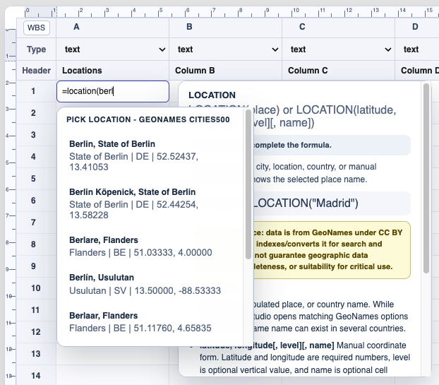
Type a LOCATION or COUNTRY formula and choose the intended record from the picker.
Use country cells when borders are needed
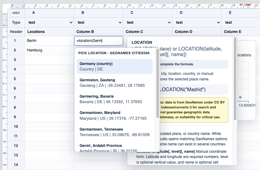
COUNTRY cells identify a country record and can draw a country border in a map chart.
Configure the map chart
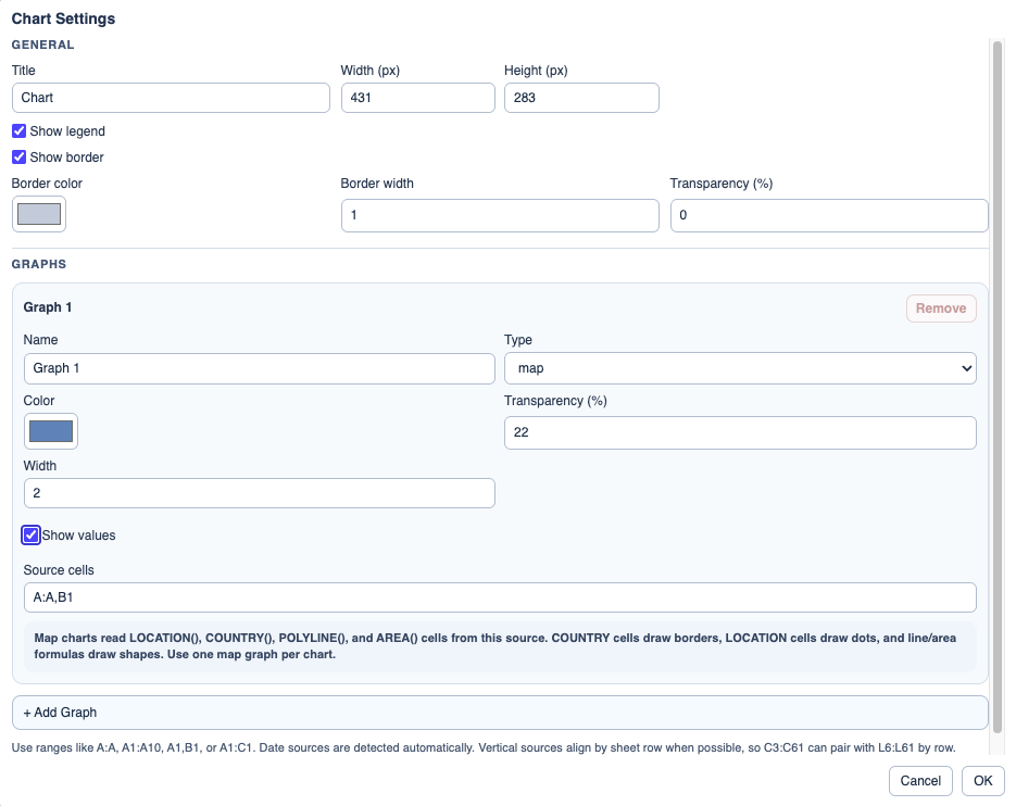
Set the graph type to map and choose the source cells that contain locations, countries, polylines, or areas.
Review the map
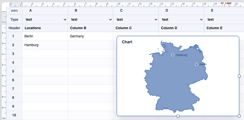
The chart reads the stored coordinates from the cells and draws the map object.
Use distance when needed
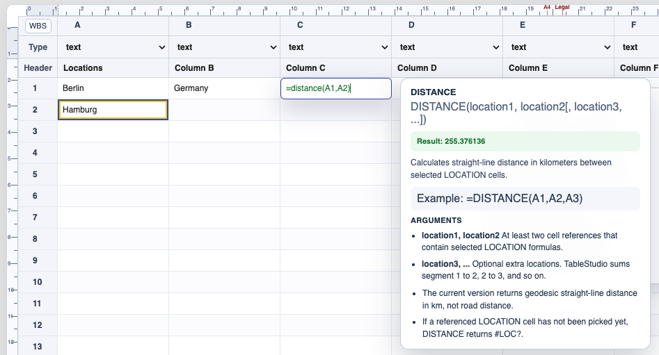
DISTANCE calculates straight-line distance between location cells and returns a value with units.
Enable JavaScript to use reading progress and usefulness ratings.